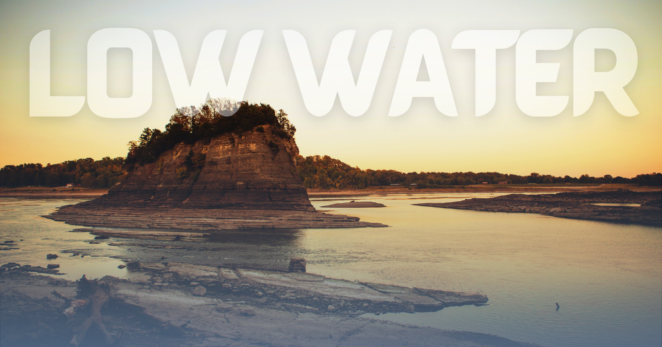
Despite a blip of relief from Hurricane Helene, the worrying trend of low water on the Middle Mississippi River and Illinois River is continuing for the third year in a row.
“Unfortunately, we are experiencing an unwelcome three-peat with low water levels during harvest season, when we need our supply chain to be operating at full throttle,” said Mike Steenhoek, executive director of the Soy Transportation Coalition. “We experienced low water in both 2022 and 2023 and now, once again, in 2024.”
Relief from the dry, hot weather in the north from the lingering drought awaits a transition to a La Niña weather pattern, which the National Weather Service (NWS) gives a 60 percent chance of occurring in late November. Michelle L’Heureux at the National Oceanic and Atmospheric Administration (NOAA) told New Scientist magazine, “I do not know why [La Niña] has slowed down. If someone did, we might have been able to predict it.”
The U.S. Coast Guard recently warned in a navigation notice of potential shoaling between Miles 54 and 55 on the Upper Mississippi River’s left descending bank near La Crosse, Wis. It also implemented one-way traffic with no passing over overtaking from Upper Mississippi Mile 42 to 43.
In an online briefing to the Illinois River Carriers Association on October 23, Scott Lincoln of the National Weather Service’s Weather Forecasting Office in Chicago and the North Central River Forecast Center said drought conditions had worsened and expanded across the Midwest and the Illinois River Basin within the last two weeks. Those conditions were expected to continue at least for the next week.
Illinois River Carriers Association chairman Terry Bass said problem areas along the river are starting to pop up. Virtual buoys are helping, he said, but there are difficulties moving physical buoys. James Ford of the Coast Guard cutter Sangamon said the buoy tender remained sidelined for now, awaiting the manufacture of a part that must be replaced to operate.
The Corps of Engineers said that dredging help is coming, with the Goetz expected to arrive on the Illinois River October 26 to spend more than two weeks dredging between Illinois River miles 79 to 74, known as Indian Creek and Camp Creek.
“Precipitation and, as a result, water levels were quite robust during the spring and early summer,” Steenhoek said. “However, once we progressed past mid-July, precipitation declined significantly, which caused a steady and dramatic decrease in water levels. The Mississippi River near Memphis, Tenn., enjoyed a short-lived 15-plus foot spike in water levels due to Hurricane Helene. Once that surge of water passed through the system, water levels at Memphis quickly returned to where they were earlier.”
Randy Chamness, chairman of the Lower Mississippi River Commission (LOMRC), told The Waterways Journal that tow restrictions were in place in the Lower Mississippi, with drafts of 10 feet, 6 inches from Cairo, Ill., to Greenville, Miss., and drafts of 11 feet south of Greenville. Tows are limited to six wide between Cairo, Ill., and Greenville, Miss., and seven wide below Greenville. Chamness said the most challenging spot on the river is near Hickman, Ky., where the river has a rocky bottom and dredging is more challenging. Chamness said he has requested a Corps dredge.
For each foot of draft reduction on the river, said Steenhoek, an individual barge is loaded with 7,000 fewer bushels (200 tons) of soybeans. In addition, the lack of water narrows the shipping channel, which limits tow sizes.
“What makes barge transportation so economical is the ability to load individual barges with significant volumes of freight while attaching many barges together to form a flotilla or tow,” Steenhoek said. “Low water conditions on the river attack both of these features.”
In its regular Currents newsletter, American Commercial Barge Line warned of transit delays of between 48 hours and 72 hours due to reduced navigable space in certain areas.


