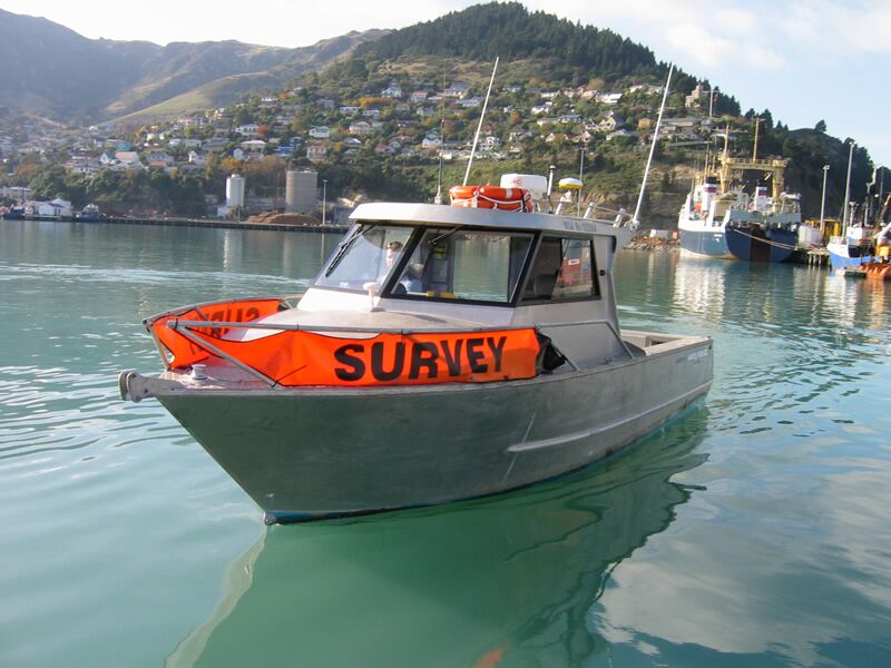
Trimble has released its new Trimble Marine Construction Software for Positioning that provides contractors with the ability to perform their own pre-/post-construction hydrographic survey. The software includes single beam echo sounder (SBES) acquisition, data editing and dredge volume calculations. A single application to manage data acquisition and editing saves time and increases a contractor’s efficiency.
Dredging support can be used for pre-/post-dredge surveys to identify high and low spots, calculate progress volumes and send grid model updates to both the office and the dredge vessel. Supporting a wide range of sensors, it can also be used for simple navigation tasks like tug, workboat or barge positioning at the dredge/construction site. Trimble Marine Construction Software for Positioning supports subscription electronic charts, open-source charts and Automatic Identification Systems (AIS) for improved safety and navigation in congested waterways, use it to accurately and efficiently place Aid to Navigation (ATON) buoys and anchors.


