The Corps of Engineers is preparing the Missouri River mainstem system for the 2019 runoff season. Current releases from Gavins Point Dam—the lowest of five large dams in the upper half of the river basin—were increased to 24,000 cubic feet per second (cfs.) last week from their previous level of 20,000 cfs.
Gavins Point Dam winter releases normally range between 12,000 and 17,000 cfs.
“The higher-than-average winter releases from Gavins Point will continue the evacuation of the stored flood waters from the 2018 runoff season,” said John Remus, chief of the Corps’ Missouri River Basin Water Management Division. “These releases will provide additional hydropower generation during the winter, which is one of the peak power demand periods. In addition, the higher-than-average releases will benefit municipal and industrial water intakes below Gavins Point Dam, which can be impacted by low water levels during periods of ice formation.”
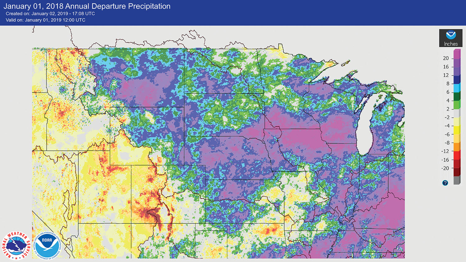
The 2018 calendar year runoff was 41.9 million acre feet (maf.), the third highest runoff in 120 years of record-keeping, exceeded only in 1997 and 2011.
In a posting on the Northwestern Engineer Division’s website, Division Commander Brig. Gen. D. Peter Helminger noted that the division’s engineers and scientists successfully managed the high runoff using the system’s five large reservoirs.
“The system performed as designed, and we did not see the widespread flooding that would have happened without the system,” he wrote. “We are mindful that flooding along the river is challenging for all, and we do our best to minimize that reality when we can, consistent with other operational requirements. I believe the Corps’ water managers did just that in 2018.”
As of January 6, the total volume of water stored in the system was 56.6 million acre feet (maf.), occupying 0.5 maf. of the 16.3 maf. combined flood control storage zones.
Based on current soil moisture conditions, current plains and mountain snowpack, and long-term temperature and precipitation outlooks, the 2019 calendar year runoff forecast is 25.7 maf. above Sioux City, Iowa. That’s just slightly above the average annual runoff of 25.3 maf.
The Corps currently expects that flow support for Missouri River navigation will be at full service levels for the first half of the 2019 season, which begins on April 1 at the mouth. The actual service level will be based on the total volume of water stored in the system on March 15, in accordance with the guidelines in the Corps’ Master Manual. Flow support for the second half of the navigation season, as well as navigation season length, will be based on the actual July 1 system storage.
River ice conditions below all system projects will be closely monitored throughout the winter season. The Corps will also continue to monitor basin and river conditions, including plains and mountain snow accumulation, and will adjust system regulation based on the most up-to-date information. Mountain snowpack is currently below average in both reaches; however, the mountain snowpack accumulation period is less than 50 percent complete. The mountain snowpack normally peaks near April 15.
The six mainstem power plants generated 758 million kilowatt hours (kwh.) of electricity in December. Typical energy generation for December is 684 million kwh. The power plants are projected to generate 12.3 billion kwh of electricity this year, compared to the long-term average of 9.3 billion kwh.


